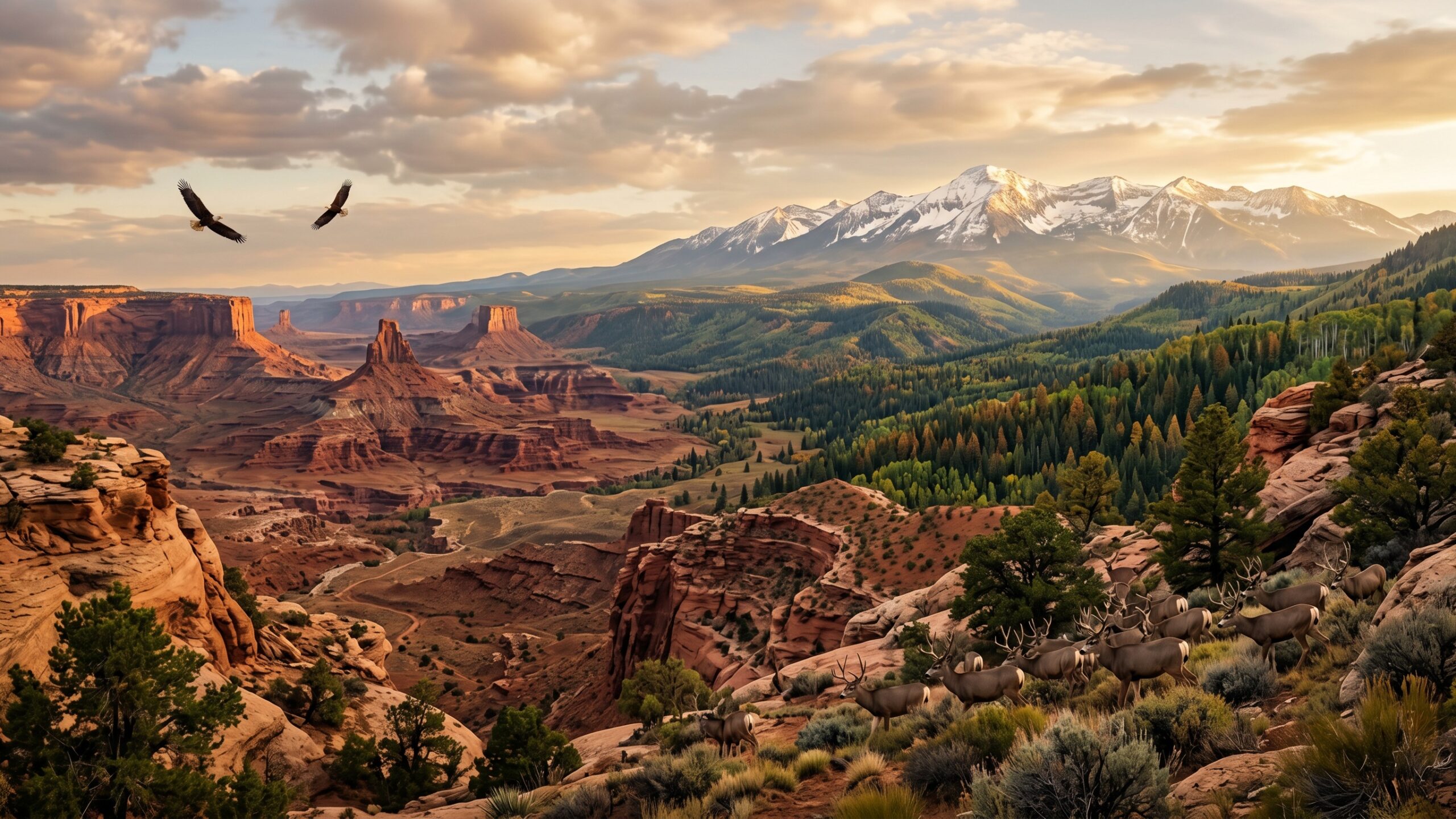
Utah’s landscapes are anything but static—they are living, evolving masterpieces shaped by time, climate, and human influence. From the shifting red rock formations of the south to the changing alpine environments of the Wasatch Mountains, Utah’s terrain tells a powerful story of transformation. In this subcategory, Utah Streets explores how natural forces like erosion, drought, wildfires, and seasonal cycles continuously redefine the state’s iconic scenery, while urban expansion and conservation efforts add new layers to the narrative. Discover how ancient deserts become vibrant ecosystems after rare rainfall, how shrinking lakes impact wildlife habitats, and how climate trends are altering everything from forest density to snowpack levels. Whether you are fascinated by geology, passionate about wildlife, or curious about environmental change, these in-depth articles reveal the dynamic processes shaping Utah’s natural identity. Dive in to understand not just what Utah looks like today—but how and why it continues to change.
A: Spring and fall offer the most balanced weather statewide.
A: Some popular areas require permits—check ahead.
A: No—carry sufficient water, especially in desert regions.
A: Yes, especially in peak seasons—arrive early or explore alternatives.
A: Yes, especially in mountains and canyon regions.
A: Yes—ranging from developed campgrounds to dispersed sites.
A: Wildlife exists, but encounters are rare with proper precautions.
A: For many remote areas, high-clearance or 4WD is recommended.
A: No—expect limited coverage in remote regions.
A: Plan ahead, check conditions, and respect the environment.